
Weather warning for thunderstorms and flooding risks across Nottinghamshire
The Met Office has issued a yellow weather warning for thunderstorms across Nottinghamshire and warned of flooding, power cuts and disruption.
The alert comes into effect from 3am on Wednesday and remains in place until 10pm and affects 59 local authorities. An additional yellow warning has been issued from 6am on Thursday.
The forecast says there was "a small risk of flooding and disruption from thunderstorms on Wednesday," encouraging people to prepare for potential floods and disruption caused by lightning strikes.
A band of heavy showers and thunderstorms is expected with the possibility a downpour of 20 to 30mm of rain expected to fall in less than an hour.
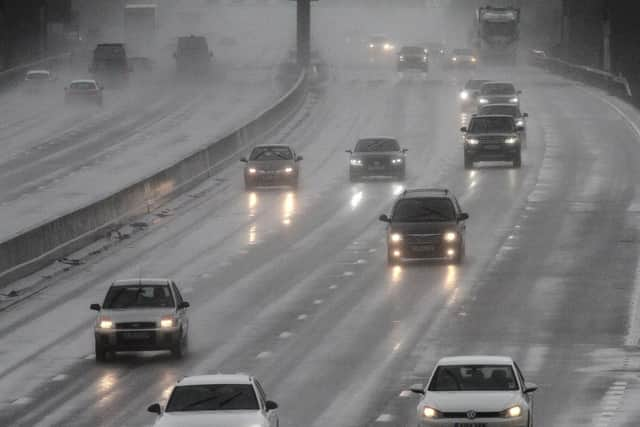

The Met Office warned: "Homes and businesses could be flooded quickly, with damage to some buildings from floodwater, lightning strikes or hail.
"Where flooding or lightning strikes occur, there is a chance of delays and some cancellations to train and bus services".
The Environment Agency warned The River Leen, Day Brook and Tottle Brook in Nottinghamshire, River Maun in Nottinghamshire and River Trent Tributaries in Nottinghamshire could experience a deluge on Wednesday leading to flooding.
The warning comes after a summer of record-breaking heatwaves.