
Yellow weather warnings issued for Worksop as snow and arctic conditions set to blast the town
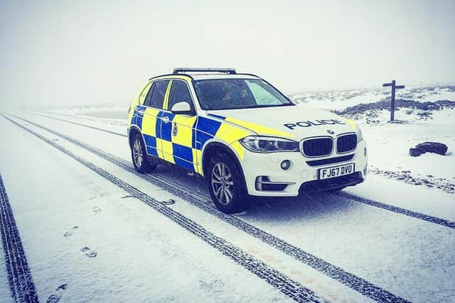
Yellow weather warnings are in place for Worksop and North Nottinghamshire later this week, as snow and freezing conditions look set to batter the district.
The first weather warning is for Thursday, March 9, hen snow is expected to start to fall from around 9am, continuing until around 6am on Friday Morning.
Thursday will see highs of 3C, but the wind-chill factor will make it feel like -3C.
Friday is a slightly better picture, with highs of 4C, but again the wind-chill will make temperatures feel as low as -2C.


Whilst the snow should have ended before the weekend, Saturday will be cloudy and cold with highs of 4C, but again the windchill will make it feel like 0C.
Sunday should be warmer, with highs of 10C and lows of 8C, but wind-chill will make it feel more like 2C to 7C.
Tomorrow (Wednesday) will offer sunny spells in the morning, clouding over from around midday, with highs of 6C and lows of -3C.