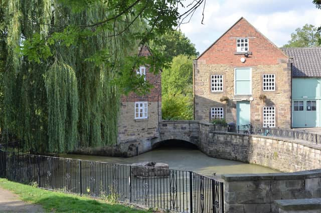
Three of the best walks in and around Worksop to enjoy this new year according to our walking columnist Sally Outram


Rother Valley circular
Distance: 3.2 miles
Approx time to walk: 1 hour 30 minutes
Start point: Car park behind Bedgreave Mill
Directions
Start at the smaller car park behind the mill buildings, where the craft shop, dog bakery and coffee shop are located. Facing the lake side take the path to your right, which is directly by the side of the lake.
Follow the clearly marked pathway, keeping the lake to your left and woodland to your right, until you reach an intersection of paths. Turn to the right and proceed along the path, still with the lake on your left.
Advertisement
Advertisement
Continue along until you reach a T-junction in the paths, take the track to the left and follow it along, passing Meadow Gate Lane to your right. There are other routes available to explore from here.
Proceed along, following the clear route around the lake.
The path loops around the bottom of the lake, follow this until you reach a wooden fence and gate across the path. Go through the gate, you will see the water sports centre and bar to your left.
Continue straight along until you reach the bicycle hire shop, just passed the shop the path forks, cut across to the left and head towards the old mill buildings.
Here you will find he dog bakery, café, parking ticket machine and public toilets.
Advertisement
Advertisement
The car park and start are directly beyond the mill complex.
Blyth and Hodsock
Distance: 3.75km
Approx time: 2 hours and 15 minutes
Start point: Village green opposite the White Swan pub, Blyth
Directions
We begin at the village green on the High Street in Blyth. Facing the White Swan public house turn right and walk in a southerly direction. There are two roads running parallel on the High Street, continue until they merge and along the pavement. The path runs out at the end of the row of houses, cross over here and continue to head South for about a quarter of a mile until you reach Spital Farm on your right.
Turn right onto the farm road and continue to follow this through the farmyard and along the tree lined avenue until you reach the road. Turn left and walk along the pavement for a short distance until you see a lane opposite. Cross over and proceed along the lane towards Hodsock Priory for approximately 1km, where you emerge into the Priory Estate parkland.
Advertisement
Advertisement
Walk towards the Priory gatehouse and about halfway along you will see a field gate on your right; proceed through the gate and walk through the field keeping the woodland on your left, heading slightly to the right and uphill until you reach a stile in the hedge.
Cross over the stile and head diagonally to the right to the large gap in the hedge. Continue through the gap and continue diagonally in the same direction across a further two fields. Once you have reached the end of the second field you will see an old stone boundary marker. Cut through the hedge here and turn right along the field edge path, following it until you reach woodland.
At the other side of the woodland there is a small bridge which crosses over the River Ryton, cross over the bridge and continue to follow the field edge path forward. At the end of this field there is a gate, pass through the gate and make a sharp turn to the left onto a wide grass track uphill. Keep the hedge to your left.
Once you reach the end of this track, you emerge onto a tree lined avenue, turn left, and proceed along until you reach the road opposite the cricket pitch, where you make a right turn along the pavement. The path takes a sharp right-hand direction, follow this until you reach the junction by the Fourways Hotel and the Red Hart pub.
Advertisement
Advertisement
Turn right following the pavement along until you find a safe place to cross over. The best place is the central refuge near the village store. Return to the start.
Cuckney circular
Distance: 3 miles
Approx time: 1 hours and 45 minutes
Start point: St. Mary’s Church – Cuckney
Refreshments: Greendale Oak Pub
Directions
Start this walk at the Church on Norton Lane and with your back to the church, turn left, cross over onto the footpath and proceed along the path towards Norton.
Continue until you reach a junction, here turn right onto Old Mill Lane, passing a pretty pond on your right. Proceed for a short distance and then turn right onto the A616 Budby Road.
Follow the road along the footpath and head towards the village, passing the Greendale Oak. Proceed along and cross over the main A60 heading towards the community gardens on the left.
Advertisement
Advertisement
From the gardens, veer to the left and onto School Lane. Continue along the lane until you reach the metal fence at the edge of Cuckney Dam.
Turn left and head up the steps and walk over the hill until you reach Langwith Road.
Turn left onto the grass, then path and head back towards the village until you reach the main A60. At this point cross over onto Cottage Lane. Proceed until you see the Greendale Oak and the church on Norton Lane.